Welcome to David M. Dolan Associates, P.C.

Welcome to David M. Dolan Associates, PC, a full-service Land Surveying firm located in central New Hampshire. We offer expert, specialized services in Land Surveying, consulting in land use and the regulatory process.
 
Providing services to the Lakes Region and beyond since 1989, David M. Dolan Associates, PC has an established and recognized reputation of excellence and professionalism in the field of Land Surveying.
 
David M. Dolan Associates, PC can provide you the highest standard of Land Surveying Services in a professional and efficient manner.
 
We welcome the opportunity to discuss your project and how we can be of service to you.
 

What can we do for you?

PROPERTY RESEARCH
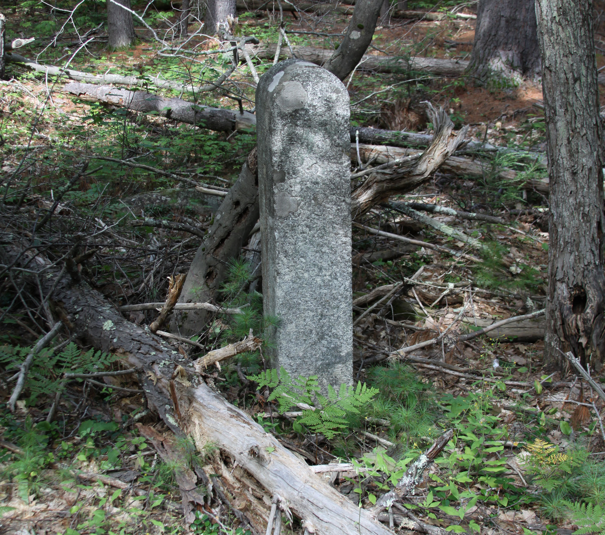
PROPERTY BOUNDARY SURVEYS
ALTA/ACSM LAND TITLE SURVEYS
TOPOGRAPHIC SURVEYS
SUBDIVISION DESIGN AND PLANNING
CONSTRUCTION LAYOUT SURVEYS
“AS-BUILT” SURVEYS
RIGHT-OF-WAY MAPPING AND MONUMENTATION
LAND USE CONSULTING
SHORELAND AND WETLAND PERMIT PREPARATION AND SUBMITTAL
CLIENT REPRESENTATION BEFORE MUNICIPAL BOARDS

Types of Surveys


BOUNDARY SURVEY
identifies the property corners and property lines of a parcel of land as described by deed. Boundary surveys are useful in resolving property disputes, for purposes of erecting fences, determining easements and/or encroachments and for obtaining building permits from your local governing body.
 
CONSTRUCTION SURVEY
is performed prior to construction to position on the ground physical structures and/or improvements of all or a portion of a plot of land.
 
TOPOGRAPHIC SURVEY
is performed to prepare maps depicting locations of natural and man-made features and elevations and contours of points and features on the property.
 
LAND TITLE SURVEY
is a survey that conforms to the requirements of a land title insuring agency or “Minimum Standard Detail Requirements for ALTA (American Land Title Association) and/or ACSM (American Congress on Surveying and Mapping) Land Title Surveys.
 
AS-BUILT SURVEY
will detail vertical and horizontal positions of all physical improvements made on a parcel of land.
 
SUBDIVISION
is the division of a parcel of land into two or more lots/parcels.
 
CONSTRUCTION LAYOUT
outlines the proposed building site, boundaries, and lot corners on the property.
 

Why use the services of a Land Surveyor?

Make the most of what you have! Maximizing the potential of your property adds value to your investment.
  • perform a boundary survey to verify that existing structures, additions, and visible water and sewerage systems are on the property as described in the deed;
  • determine if one property encroaches on another;
  • determine the location of buildings and improvements prior to construction or purchase
  • subdivide an existing parcel, designing and laying out individual lots, roads and drives;
  • adjust a boundary line between two or more properties.
Land Surveyors also perform topographic surveys and construction layout surveys for buildings and roads.
 
Membership & Affiliations


Contact Us About Your Proposal